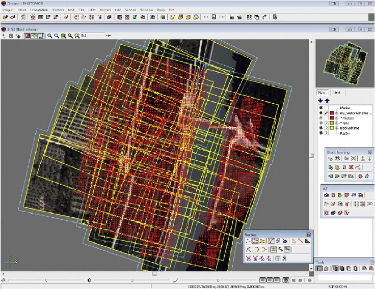
Aerial Triangulation (AT)

Aerial triangulation (AT)
Aerial triangulation is the term applied to the process of determining x,y and z ground coordinate of individual points on measurements from the photograph. The principal application is in extending ground control through strip or block of photo for use in subsequent photogrammetric operation. In other words, the main objective of aerial triangulation is to produce from ground control, sufficient points in the photogrammetric models to ensure that each model can be oriented accurately as required for stereo compilation in either orthophoto or line mapping in digital or analogue form.
Aerial Triangulation is classified three categories.
- Analogue Aerial Triangulation
- Semi Analytical Aerial Triangulation
- Analytical Aerial Triangulation
- We at SATPALDA use the ground control points provided by the client for Aerial Triangulation. We follow automated aero triangulation approach by combining point selection, point measurement, point transfer and block adjustment in a single process, with minimal human intervention and thus achieving higher accuracy.