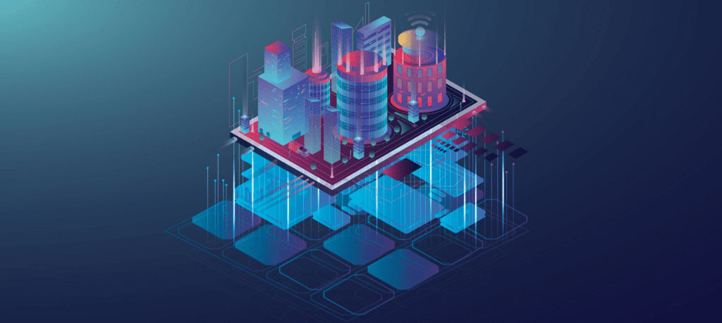
Digital Twin for GIS by SATPALDA involves creating virtual replicas of physical objects, processes, or systems using Geographic Information Systems (GIS) data.This technology is revolutionizing industries by allowing businesses and governments to monitor, simulate, and optimize real-world systems in real-time, improving decision-making, efficiency, and sustainability. By integrating Digital Twin technology with GIS services, SATPALDA provides powerful solutions for managing urban infrastructure,environmental monitoring, smart cities, and asset management.