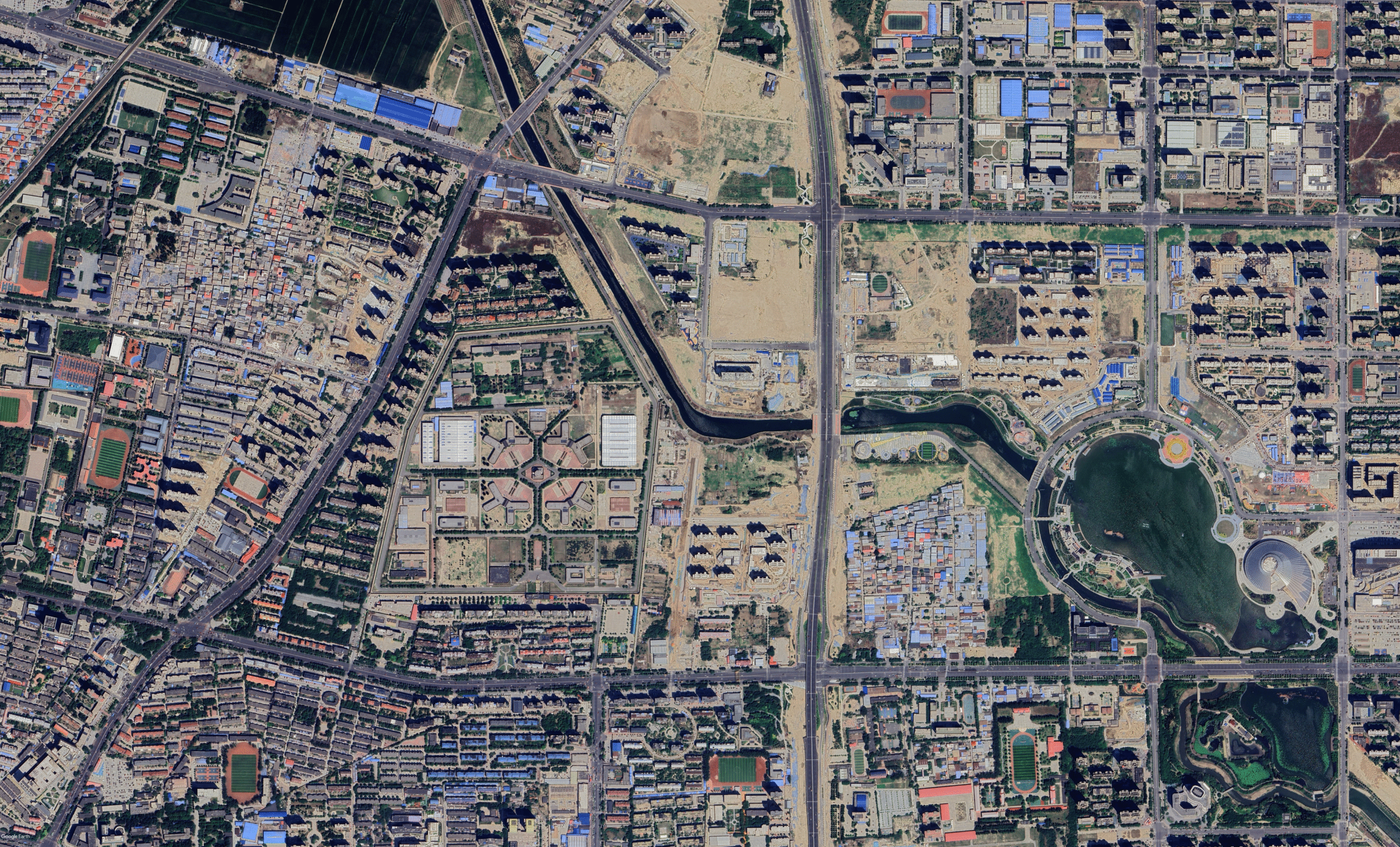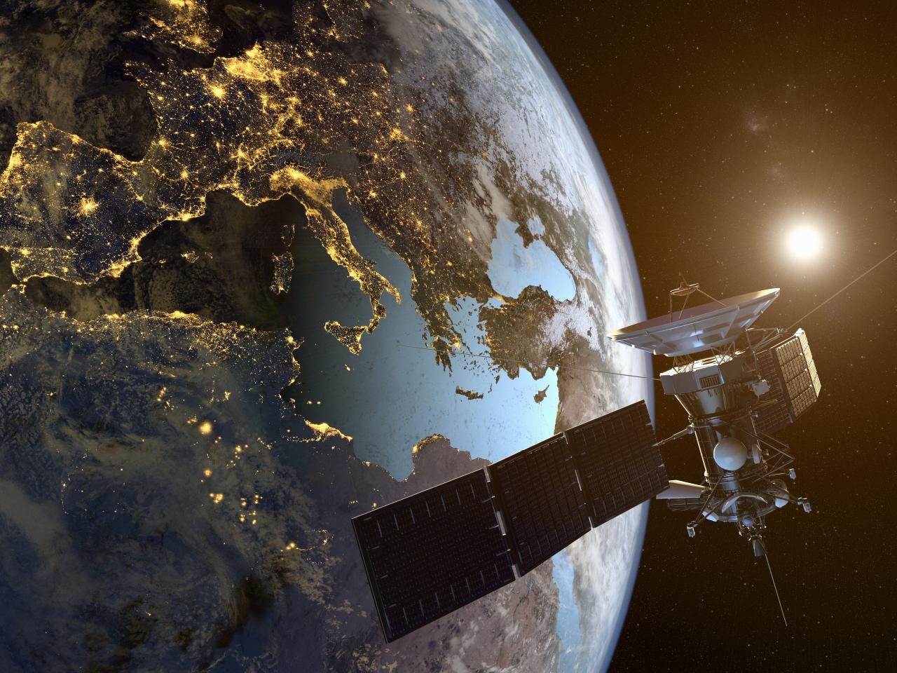

Satellite Imagery
High-resolution imagery for monitoring, mapping, and strategic decision-making.

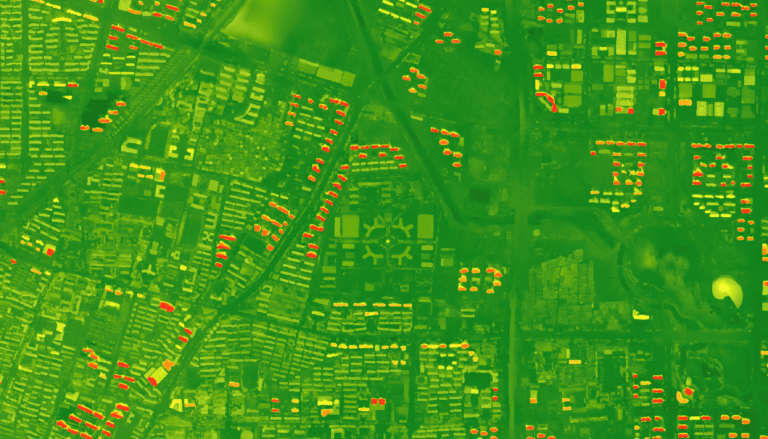
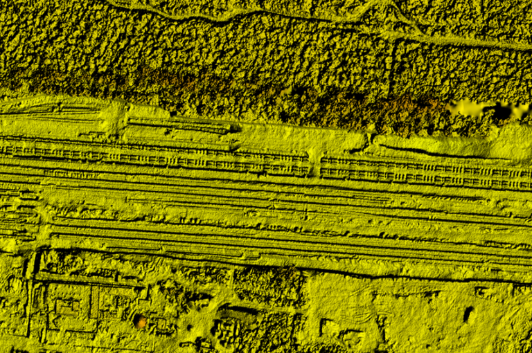
Geospatial Analytics
Transform satellite data into actionable insights with AI-driven analytics.

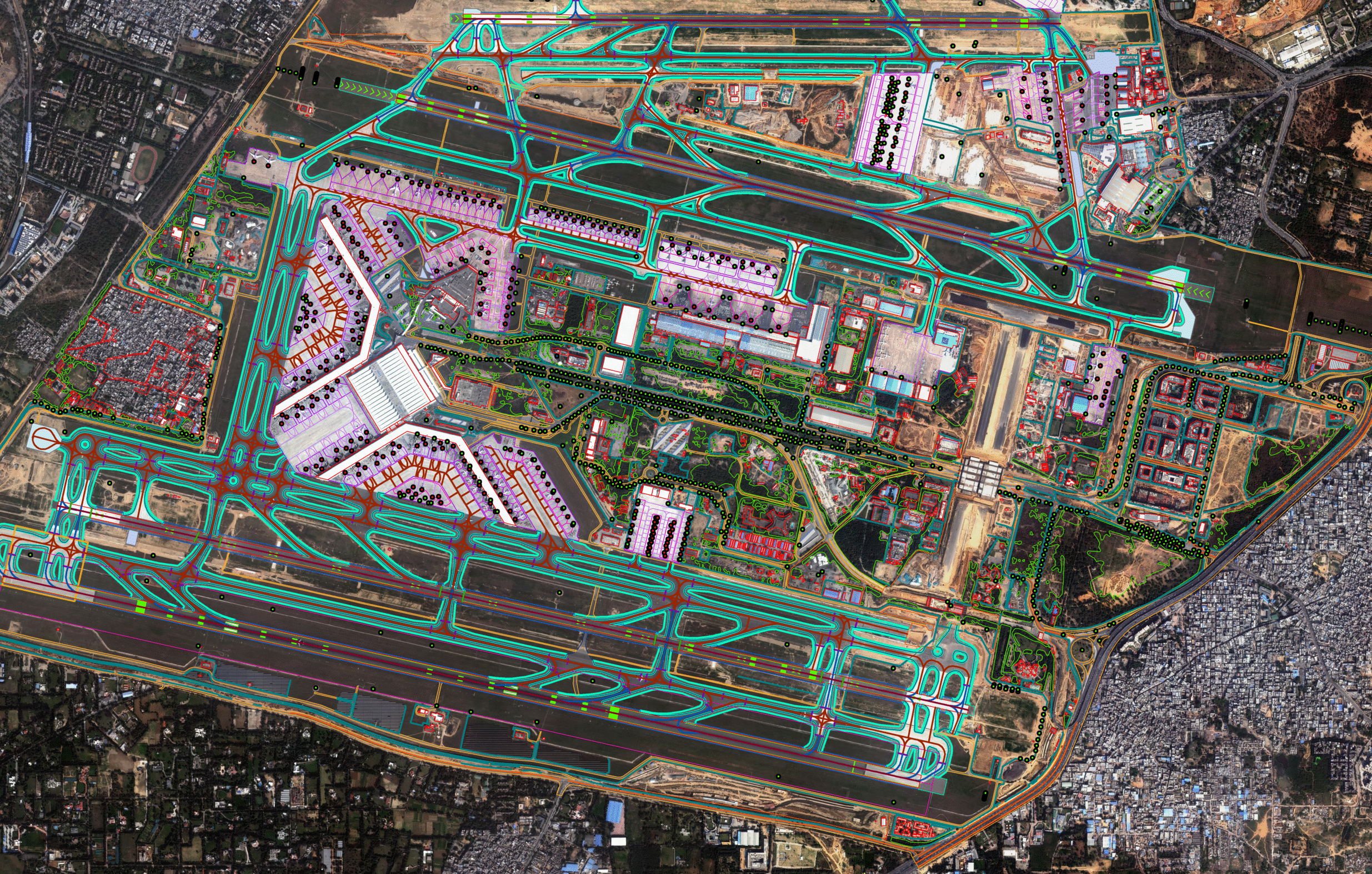
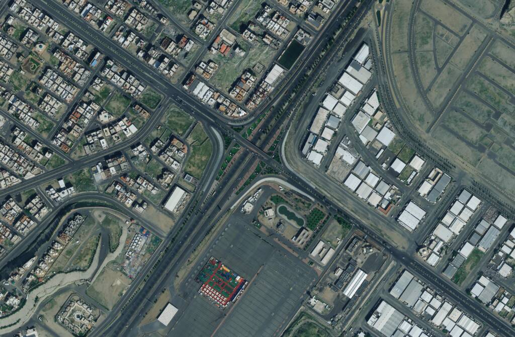
GIS Mapping Solutions
End-to-end GIS services for urban planning, agriculture, and infrastructure projects.
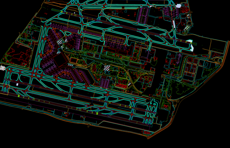
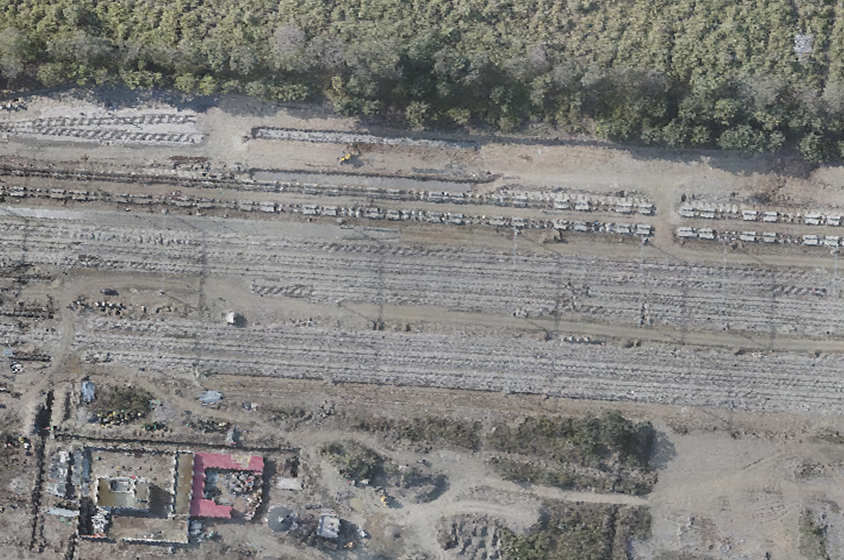
Remote Sensing Applications
Advanced monitoring of environmental changes, natural disasters & resource management.