
VANTOR Satellite Imagery & Constellation
Access high-resolution satellite imagery, multispectral data, stereo imagery, 3D surface models, digital surface models and True Ortho products from Vantor’s advanced Earth observation capabilities.
Vantor geospatial products provide detailed surface information, elevation data and accurately corrected imagery for mapping, terrain analysis, 3D visualization, urban planning, infrastructure assessment and other professional geospatial applications.
The VANTOR Constellation
VANTOR provides high-resolution Earth observation and spatial intelligence capabilities designed to help organizations understand the changing world with greater precision and speed.
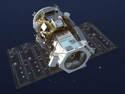
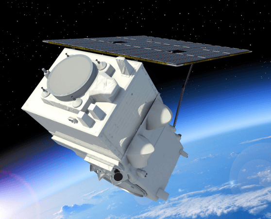
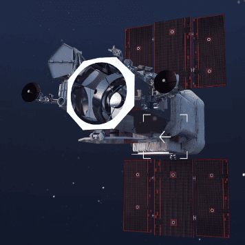
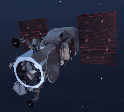
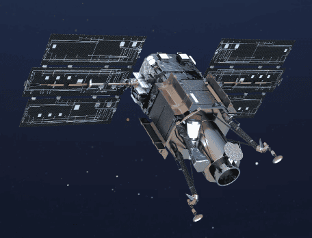
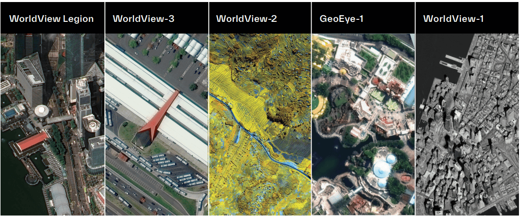
Its imaging constellation combines multiple generations of high-resolution optical satellites, including WorldView Legion, WorldView-3, WorldView-2, GeoEye-1 and WorldView-1. Vantor’s current constellation is designed around high-resolution imaging, rapid collection, positional accuracy and large-scale coverage.
GeoEye-1
High-Resolution Imaging for Mapping & 3D Applications
GeoEye-1 provides high-resolution satellite imagery designed for detailed mapping, monitoring and geospatial analysis. It delivers 0.46 m panchromatic and 1.84 m multispectral imagery, allowing detailed observation of buildings, roads, infrastructure and other surface features.
With high positional accuracy and single-pass stereo capability, GeoEye-1 is also suitable for elevation modelling and 3D applications. Its combination of spatial detail and stereo imaging makes it useful for mapping, infrastructure planning and terrain analysis.
Key Features
- 0.46 m Panchromatic
- 1.84 m Multispectral
- <5 m CE90 Accuracy
- Single-Pass Stereo
- Up to 500,000 km² Daily Imaging
- ≤3-Day Revisit
Applications
-
Mapping & GIS: Detailed base mapping and feature extraction.
-
Infrastructure: Planning and monitoring roads, buildings and infrastructure.
-
3D Mapping: Stereo imagery for elevation and terrain modelling.
-
Urban Planning: Detailed observation of urban development.
-
Change Detection: Monitor changes in infrastructure and land use.
WorldView Legion Fleet
30 cm-Class High-Resolution Satellite Imagery
WorldView Legion is Vantor’s next-generation high-resolution imaging constellation, designed to provide detailed imagery with increased collection capacity and rapid revisit opportunities. It provides 30 cm-class panchromatic imagery together with 8-band VNIR multispectral data.
Its multi-orbit configuration enables frequent imaging of areas of interest, while high geolocation accuracy, stereo acquisition and direct-access tasking support detailed mapping and time-sensitive monitoring requirements.
Key Features
- 30 cm-Class Imagery
- 8-Band VNIR
- Rapid Revisit
- High Geolocation Accuracy
- Stereo Acquisition
- Direct-Access Tasking
Applications
-
High-Resolution Mapping: Detailed mapping of buildings, roads and infrastructure.
-
Urban Monitoring: Monitor development and changes in built-up areas.
-
Infrastructure: Observe transportation and major infrastructure.
-
Disaster Response: Rapidly acquire detailed imagery of affected areas.
-
Change Detection:Identify changes between image acquisitions.
WorldView-3
Ultra-High-Resolution Imaging with Spectral Intelligence
WorldView-3 combines very high spatial resolution with extensive spectral capabilities. It provides 31 cm panchromatic, 1.24 m VNIR and 3.7 m SWIR imagery, allowing users to analyze both detailed surface features and spectral characteristics.
Its VNIR, SWIR and CAVIS capabilities make WorldView-3 particularly useful for applications such as mineral exploration, geological analysis, agriculture, environmental monitoring and detailed urban mapping.
Key Features
- 31 cm Panchromatic
- 1.24 m VNIR
- 3.7 m SWIR
- 8 VNIR Bands
- 8 SWIR Bands
- 12 CAVIS Bands
Applications
-
Mining & Geology: Support mineral and geological analysis.
-
Agriculture: Analyze vegetation and crop conditions.
-
Environmental Monitoring: Study land-cover and environmental changes.
-
Urban Mapping: Identify detailed urban features.
-
Coastal Analysis: Support coastal and water-related studies.
-
Material Analysis: Use spectral information to distinguish surface materials.
WorldView-2
High-Resolution Multispectral Earth Observation
WorldView-2 is a high-resolution Earth observation satellite combining detailed panchromatic imagery with multispectral imaging. Its eight multispectral bands provide additional spectral information for analysing different surface characteristics.
The imagery supports detailed mapping, land-cover and vegetation analysis, urban applications, environmental monitoring and change detection, combining high spatial detail with broader spectral information.
Key Features
- 0.46 m panchromatic resolution at nadir
- 1.85 m multispectral resolution at nadir
- 8 Multispectral bands
- Coastal, Blue, Green, Yellow, Red, Red Edge and two NIR bands
- 16.4 km swath width
- Panchromatic and multispectral stereo imaging capability
Applications
-
Land-Cover Mapping: Classify and monitor different surface types.
-
Agriculture: Observe vegetation and agricultural areas.
-
Urban Analysis: Map buildings and developed areas.
-
Environmental Monitoring: Monitor land and environmental changes.
-
Change Detection: Compare imagery over time.
WorldView-1
High-Resolution Panchromatic Imaging
WorldView-1 is a very-high-resolution Earth observation satellite designed for detailed panchromatic imaging. Its high spatial resolution supports precise observation and mapping of surface features, making it suitable for detailed geospatial applications.
The satellite supports high-resolution mapping, feature extraction, urban and infrastructure analysis, change detection and stereo-based applications where detailed spatial information is required.
Key Features
- 0.50 m panchromatic resolution at nadir
- 17.7 km swath width
- High-resolution stereo imaging capability
- Rapid targeting and collection agility
- Sun-synchronous orbit at approximately 496 km
- 11-bit radiometric resolution
Applications
-
Detailed Mapping: Create detailed base maps.
-
Infrastructure Monitoring: Observe roads and infrastructure.
-
Urban Analysis: Map buildings and urban features.
-
Feature Extraction: Identify detailed surface objects.
-
Change Detection: Monitor changes over time.
Vantor Constellation
A Global Network for High-Resolution Earth Observation
Together, Vantor’s satellites provide a combination of high spatial resolution, multispectral capabilities, rapid revisit and large-area collection. The constellation is designed to provide frequently refreshed imagery for mapping, monitoring and spatial intelligence requirements.
The WorldView Legion fleet further increases collection capacity, with the existing SATPALDA page describing up to 15 revisits per day over the same location, more than 7 million km² of daily imaging capacity, and more than 3.5 million km² of 30 cm imagery per day.
Core Capabilities
- High Resolution: Detailed imagery for precise mapping and feature extraction.
- Rapid Revisit: Frequent collection for monitoring changing locations.
- Multispectral Intelligence: Spectral information for environmental, agricultural and geological analysis.
- Stereo & 3D: Imagery suitable for elevation and 3D terrain generation.
- Global Coverage: Large-area collection capabilities for projects worldwide.
Vantor WorldView 3D Bundle Product
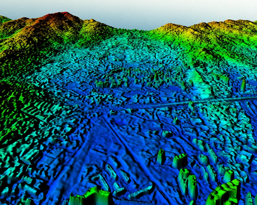
3D Surface Model (3DSM)
A detailed 3D representation of the observed surface, providing spatial geometry for 3D mapping, visualization, simulation, and terrain-based analysis.
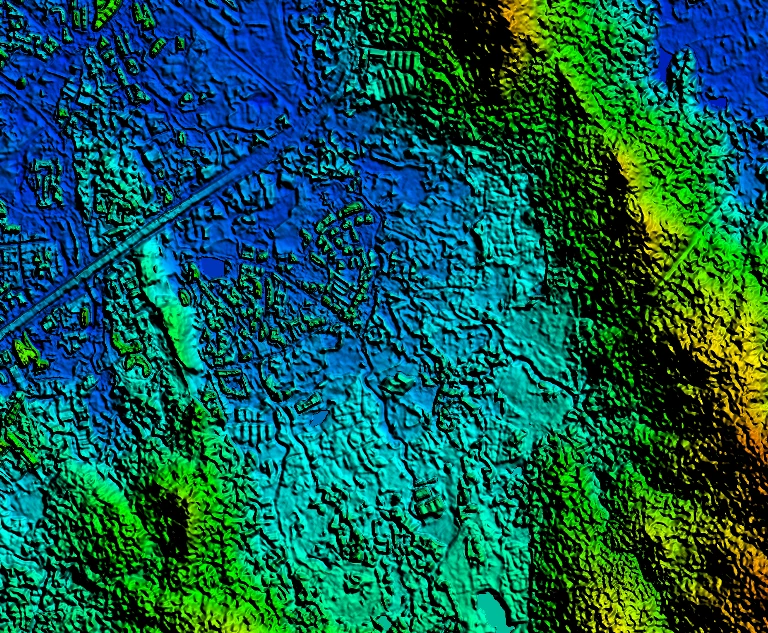
Digital Surface Model (DSM)
A 3D elevation model representing the Earth's surface and above-ground features, supporting terrain analysis, mapping, urban planning, and spatial visualization.
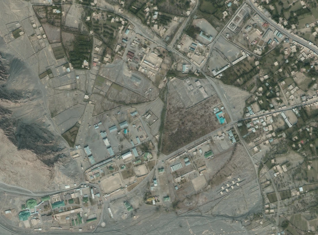
True Ortho
Orthorectified imagery with terrain and geometric corrections, providing an accurate map-ready view for detailed mapping, feature interpretation, and geospatial analysis.
Vantor WorldView 3D Bundle Product
Vivid Mosaic
Seamless satellite imagery designed for high-quality basemaps, mapping, visualization and geospatial monitoring.
Vivid Terrain
A collection of 3D terrain, elevation and derived geospatial products for mapping, visualization and spatial analysis.
Digital Terrain Model (DTM)
Represents the terrain surface and supports elevation, terrain analysis and geospatial mapping.
Digital Surface Model (DSM)
Represents the Earth's surface including above-ground features for 3D visualization and surface analysis.
Elevation Bundle (DTM + DSM)
Combines terrain and surface elevation models for broader elevation-based analysis and mapping workflows.
DHM
Elevation-based geospatial data for representing and analysing terrain characteristics.
Point Cloud
Dense 3D point data supporting detailed surface modelling, visualization and spatial analysis.
True Ortho
Orthorectified imagery designed for accurate mapping, visualization and geospatial analysis.
3D Surface Model (3DSM)
Three-dimensional surface data for detailed terrain visualization and realistic geospatial modelling.
3D Bundle
Combines 3DSM, DSM and True Ortho for an integrated 3D representation and imagery-based workflow.
Buildings
Building-focused geospatial data supporting urban mapping, 3D visualization and built-environment analysis.
Classification
Classified geospatial information that helps distinguish and organize features for mapping and spatial analysis.
Vegetation
Vegetation-focused geospatial data for mapping and analysing vegetation-related features across an area.
