Skip to content Skip to footer

Comprehensive Satellite & Geospatial Solutions for Modern Enterprises

Solutions

r13611_39_satellite_image_pleiades_rhe_island_france_2012-2

Your Global Partner in Satellite Intelligence

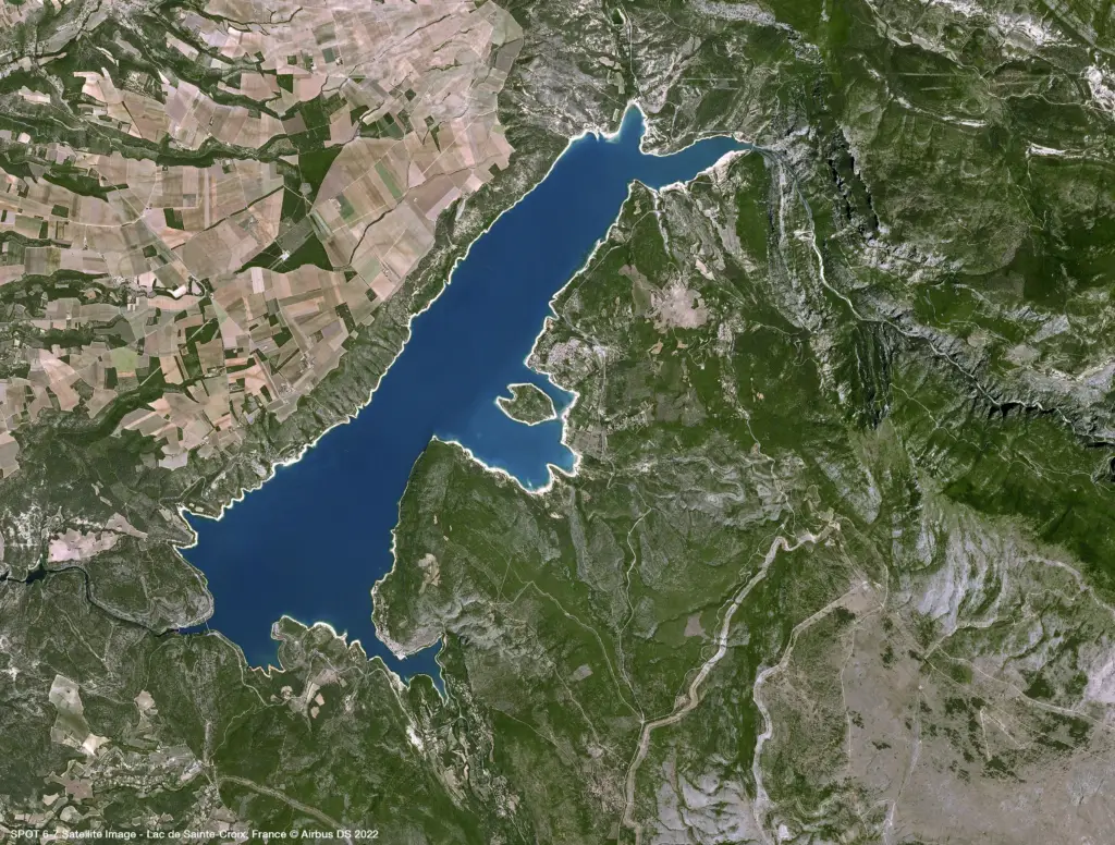
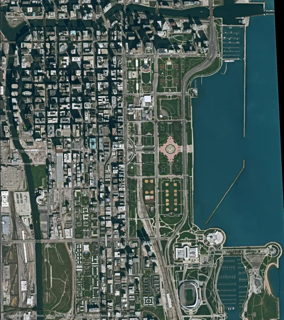
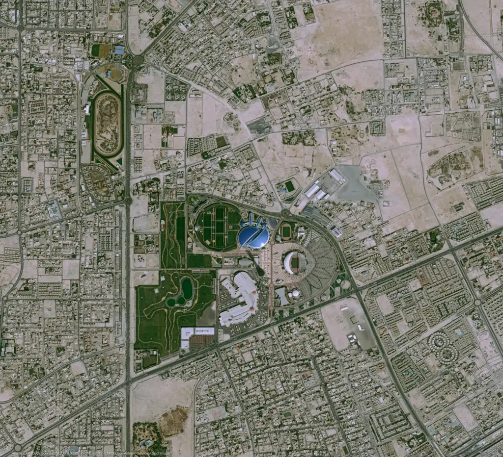
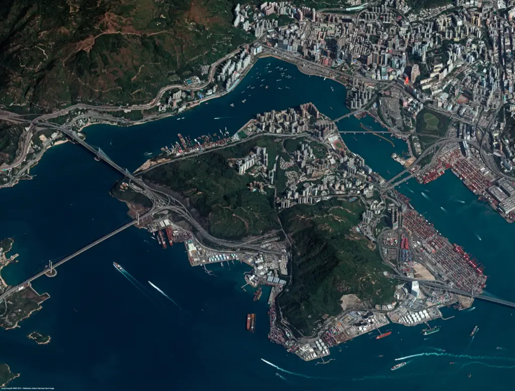
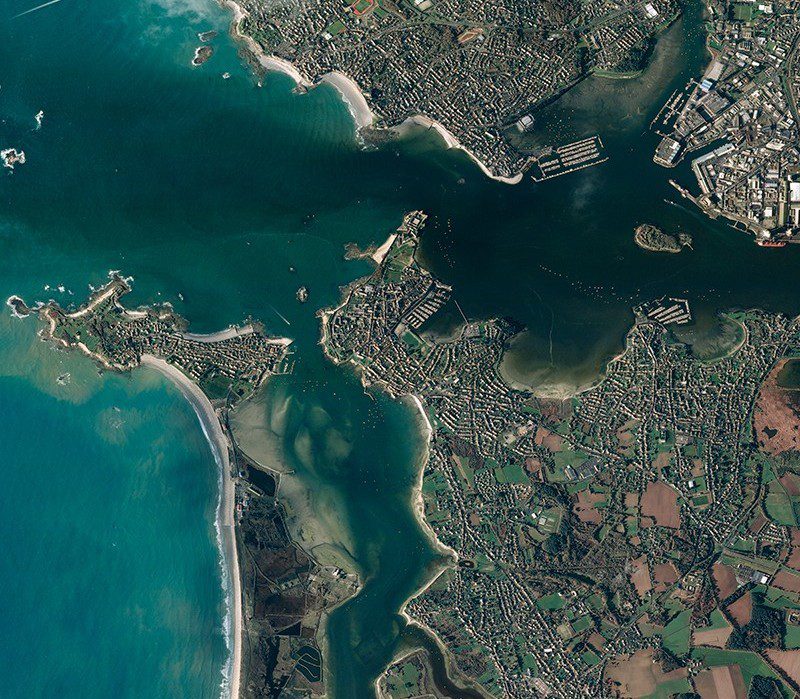
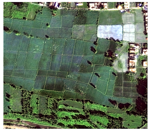
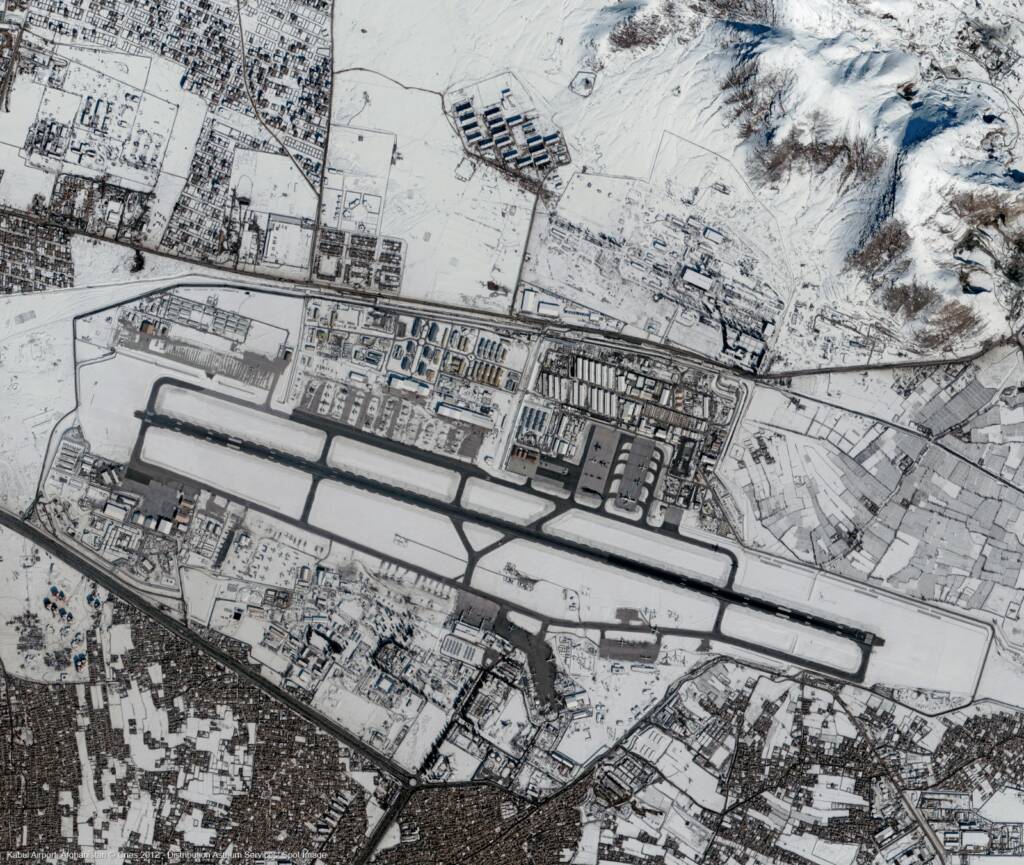
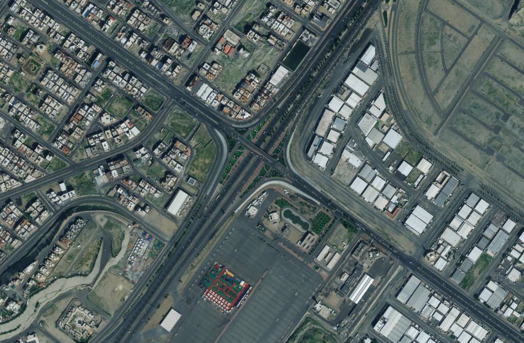
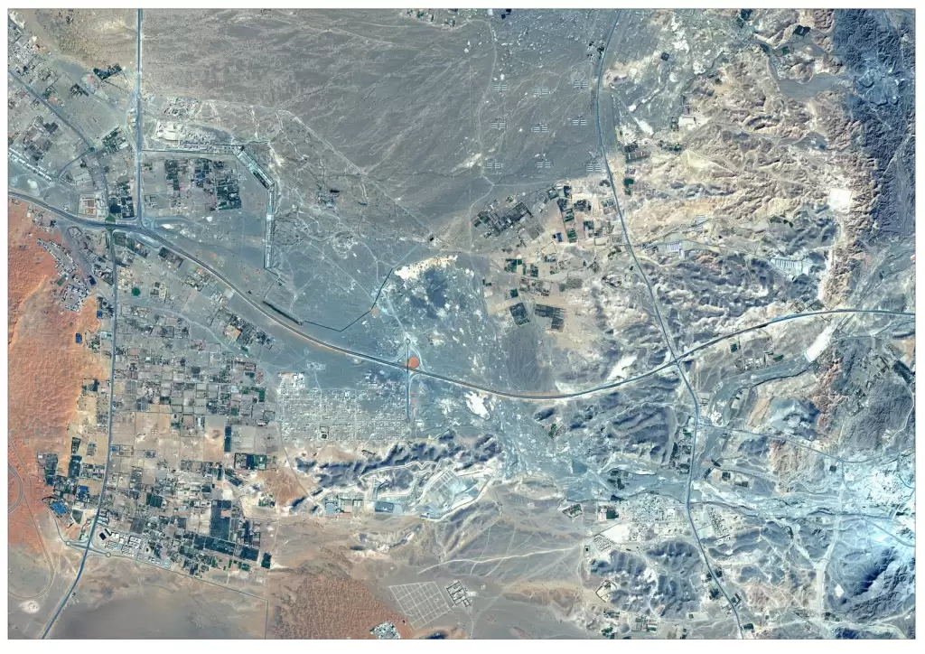
Explore our comprehensive geospatial solutions designed to transform the way organizations access, analyze, and utilize spatial data. From high-resolution satellite imagery and advanced GIS mapping to remote sensing, geospatial analytics, and WebGIS development, our solutions are built to support a wide range of industry needs. We enable governments, enterprises, and organizations to monitor large geographic areas, analyze complex datasets, and make informed, data-driven decisions with confidence.

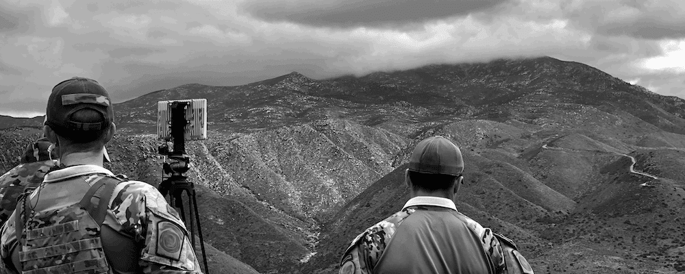
By integrating cutting-edge technologies with scalable data solutions, we deliver accurate insights for applications such as infrastructure planning, environmental monitoring, agriculture management, and defence intelligence. Our customized approach ensures that every project is aligned with specific operational goals, whether it involves real-time monitoring, spatial analysis, or interactive geospatial platforms. With global data coverage and advanced analytical capabilities, our geospatial solutions empower you to gain deeper insights, improve efficiency, and drive better outcomes across your projects.

Our solutions

Explore the observatory

Satellite Imagery Services

Satellite Imagery

Access high-resolution satellite imagery for mapping, monitoring, and large-scale geospatial analysis. Gain accurate insights for infrastructure, agriculture, defence, and environmental applications worldwide.

GIS mapping services

GIS Mapping

Transform spatial data into meaningful maps and insights with advanced GIS mapping services. Enable better planning, analysis, and decision-making across industries.

geospatial analytics services

Geospatial Analytics

Unlock the power of spatial data with advanced geospatial analytics. Identify patterns, detect changes, and generate actionable insights using satellite imagery and GIS data.

remote sensing services

Remote Sensing

Collect and analyze Earth observation data using remote sensing technologies. Monitor environmental changes, land use patterns, and infrastructure development with precision.

satellite imagery for mapping and analysis, high resolution satellite imageryia

Custom Projects & Consultancy

Get tailored geospatial solutions designed for your unique requirements. From planning to execution, we deliver customized satellite, GIS, and analytics-based projects.

WebGIS

WebGIS & Web Development

Build interactive, web-based GIS platforms for real-time data visualization and analysis. Enable seamless access to geospatial data through scalable and user-friendly applications.

Contact us

We are happy to help. Anytime.

    Contact us

    We are happy to help. Anytime.