
Geospatial Consultancy Services and Custom Project Solutions

Tailored Satellite, GIS, and Remote Sensing Solutions for Your Unique Requirements
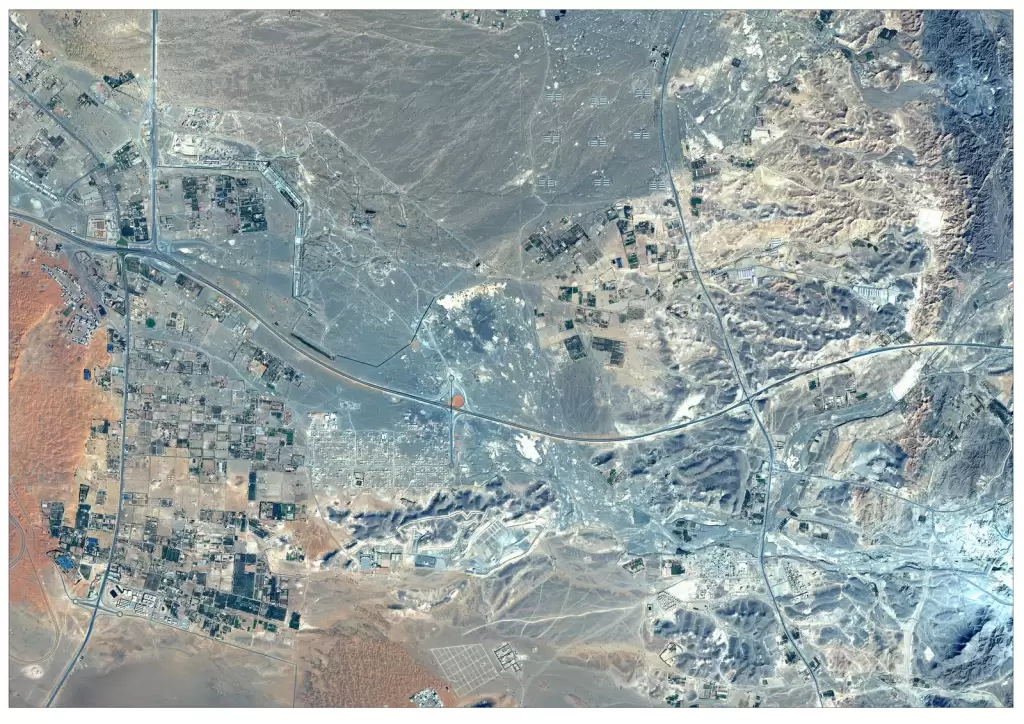
Geospatial consultancy services provide customized solutions tailored to complex project requirements across industries. By combining satellite imagery, GIS mapping, remote sensing, and advanced analytics, we design and deliver end-to-end geospatial solutions that address specific business challenges. Whether it’s infrastructure planning, environmental assessment, defence intelligence, or large-scale data analysis, our expert-driven approach ensures accurate insights and scalable solutions. From project planning to execution, we help organizations transform geospatial data into actionable intelligence for informed decision-making.
Solutions
Key Capabilities
Custom Geospatial Solution Design
Geospatial Consultancy Services
Satellite Data Procurement & Tasking
GIS & Remote Sensing Integration
Advanced Spatial Data Analysis
Custom Dashboard & Visualization Solutions
3D Modeling & Digital Twin Solutions
Multi-Source Data Integration
End-to-End Project Execution
industries
Applications of Custom Geospatial Solutions
Geospatial Consultancy in Mining & Resource Management
Support exploration, site analysis, and operational monitoring with customized geospatial data solutions.
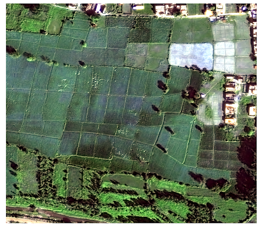
Geospatial Consultancy in Agriculture
Develop customized solutions for crop monitoring, land analysis, and precision agriculture using satellite data and spatial analytics.
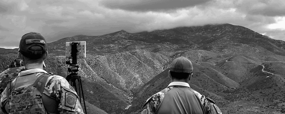
Geospatial Consultancy in Defence & Intelligence
Design tailored geospatial workflows for surveillance, terrain analysis, and strategic intelligence operations.
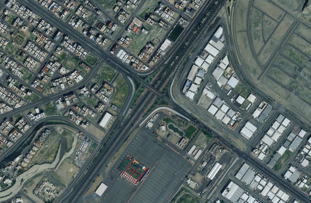
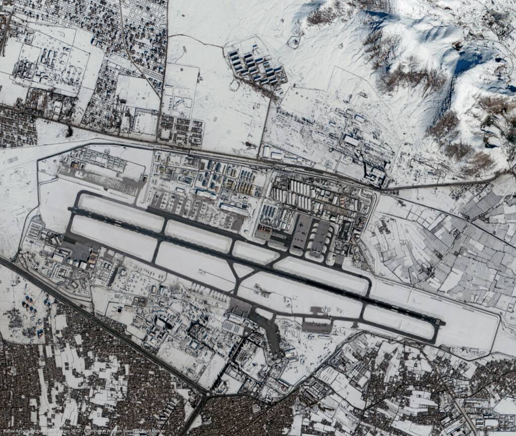
Geospatial Consultancy in Urban Development & Infrastructure
Create project-specific solutions for smart city planning, land use analysis, and infrastructure monitoring.
Geospatial Consultancy in Environment & Forestry
Provide tailored solutions for environmental monitoring, deforestation tracking, and sustainable resource management.
FAQs
Frequently Asked Questions About Geospatial Consultancy Services
What are geospatial consultancy services?
Geospatial consultancy services provide expert guidance and customized solutions using satellite imagery, GIS, and remote sensing to solve complex spatial challenges across industries.
What types of custom geospatial projects do you handle?
We handle projects involving satellite imagery analysis, GIS mapping, remote sensing, infrastructure monitoring, environmental assessment, and spatial data analytics tailored to specific requirements.
How do custom geospatial solutions differ from standard services?
Custom geospatial solutions are tailored to specific project needs, combining multiple data sources, tools, and analytics workflows to deliver precise and scalable outcomes.
Can you integrate satellite imagery with existing systems?
Yes, satellite imagery and geospatial data can be integrated with existing GIS platforms, dashboards, and enterprise systems for seamless data analysis and visualization.
Which industries benefit from geospatial consultancy services?
Industries such as agriculture, defence, mining, urban development, disaster management, and environmental monitoring benefit from customized geospatial solutions.
How do I get started with a custom geospatial project?
You can share your project requirements with our team, and we will design a tailored geospatial solution, including data sourcing, analysis, and final deliverables based on your needs.