
Geospatial Analytics Services for Advanced Spatial Data Insights

Transform Spatial Data into Actionable Geospatial Insights
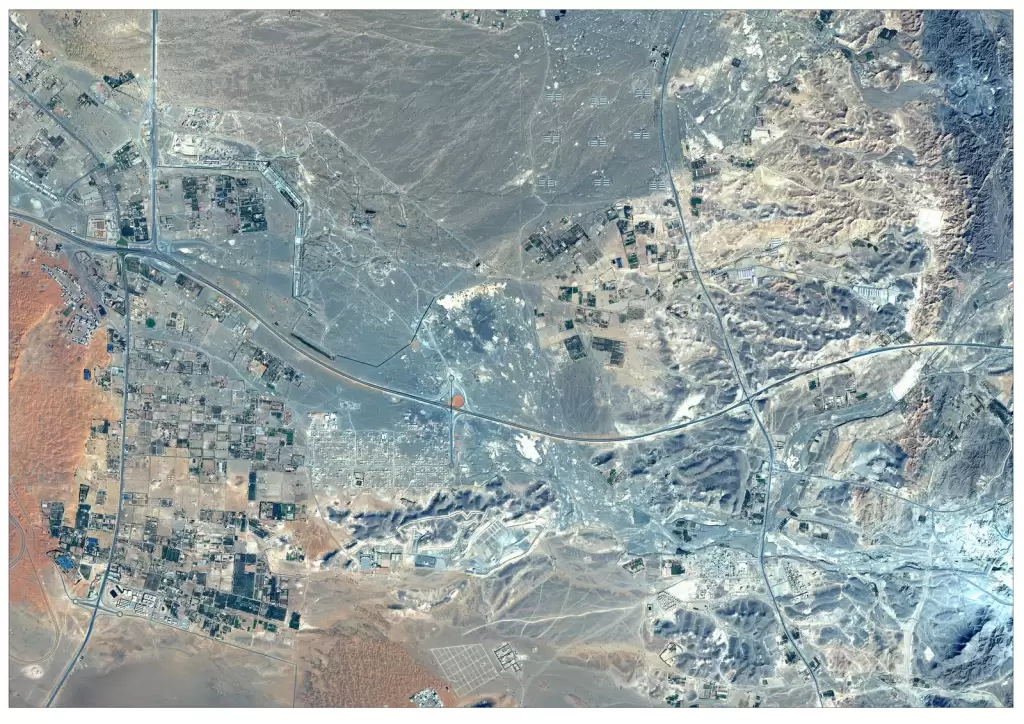
Geospatial analytics services transform complex spatial data into actionable insights using advanced analysis, modeling, and visualization techniques. By combining satellite imagery, GIS data, and AI-driven analytics, organizations can identify patterns, detect changes, and support strategic decision-making across industries. From infrastructure monitoring and environmental analysis to defence intelligence and resource management, geospatial analytics enables accurate, data-driven solutions at scale. These insights help organizations optimize operations, reduce risks, and make informed decisions with confidence.
Solutions
Key Capabilities
Spatial Data Analysis & Modeling
Satellite Data Analytics
Geospatial Data Visualization
Change Detection Analysis
Predictive Geospatial Analytics
Location Intelligence Solutions
Big Geospatial Data Processing
Multi-Source Data Integration
Custom Geospatial Analytics Solutions
industries
Applications of Geospatial Analytics
Geospatial Analytics in Mining & Resource Management
Use geospatial analytics to monitor mining activities, assess land changes, and support efficient resource exploration and management.
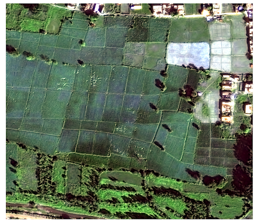
Geospatial Analytics in Agriculture
Analyze crop health, monitor vegetation patterns, and optimize irrigation using geospatial analytics for precision agriculture and improved yield forecasting.
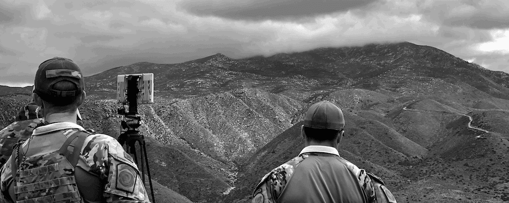
Geospatial Analytics in Defence & Intelligence
Leverage spatial data analytics for terrain analysis, threat detection, and strategic planning to support defence and security operations.
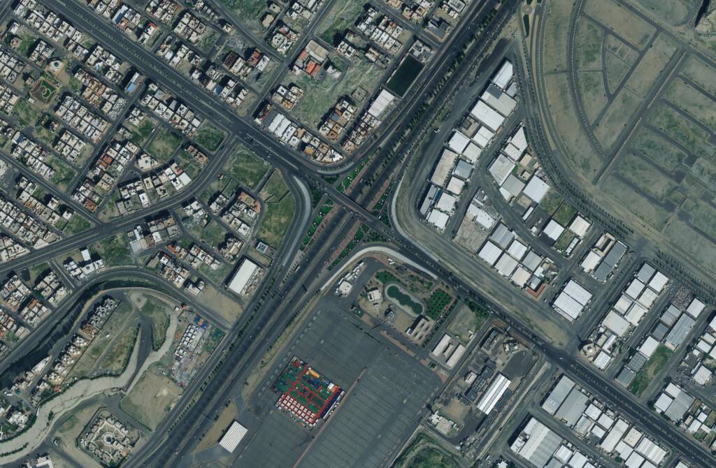
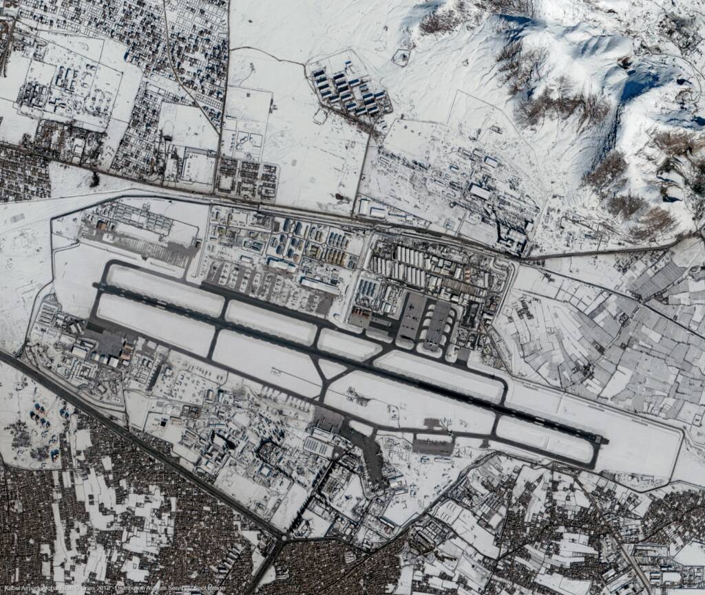
Geospatial Analytics in Urban Development & Infrastructure
Enable smart city planning, land use analysis, and infrastructure monitoring through advanced spatial data analysis and visualization.
Geospatial Analytics in Environment & Forestry
Track deforestation, monitor environmental changes, and analyze ecological patterns to support sustainable resource management.
FAQs
Frequently Asked Questions About Geospatial Analytics Services
What are geospatial analytics services?
Geospatial analytics services involve analyzing spatial data from satellite imagery, GIS, and other sources to extract insights for mapping, monitoring, and decision-making across industries.
How is geospatial analytics used in different industries?
Geospatial analytics is used in agriculture, defence, mining, urban planning, disaster management, and environmental monitoring to analyze spatial patterns, track changes, and support strategic planning.
What is the difference between GIS and geospatial analytics?
GIS focuses on mapping and managing spatial data, while geospatial analytics uses advanced analysis, modeling, and AI to extract deeper insights and predict trends from that data.
How does geospatial analytics help in decision-making?
Geospatial analytics provides data-driven insights through spatial analysis, visualization, and modeling, enabling organizations to make informed decisions for planning, monitoring, and risk management.
Can geospatial analytics be combined with satellite imagery?
Yes, geospatial analytics integrates satellite imagery with GIS and other datasets to enhance accuracy, improve analysis, and deliver actionable insights across large geographic areas.
What tools and data are used in geospatial analytics?
Geospatial analytics uses satellite imagery, GIS platforms, spatial databases, and AI-driven tools to process, analyze, and visualize complex geospatial data.