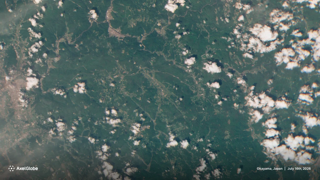
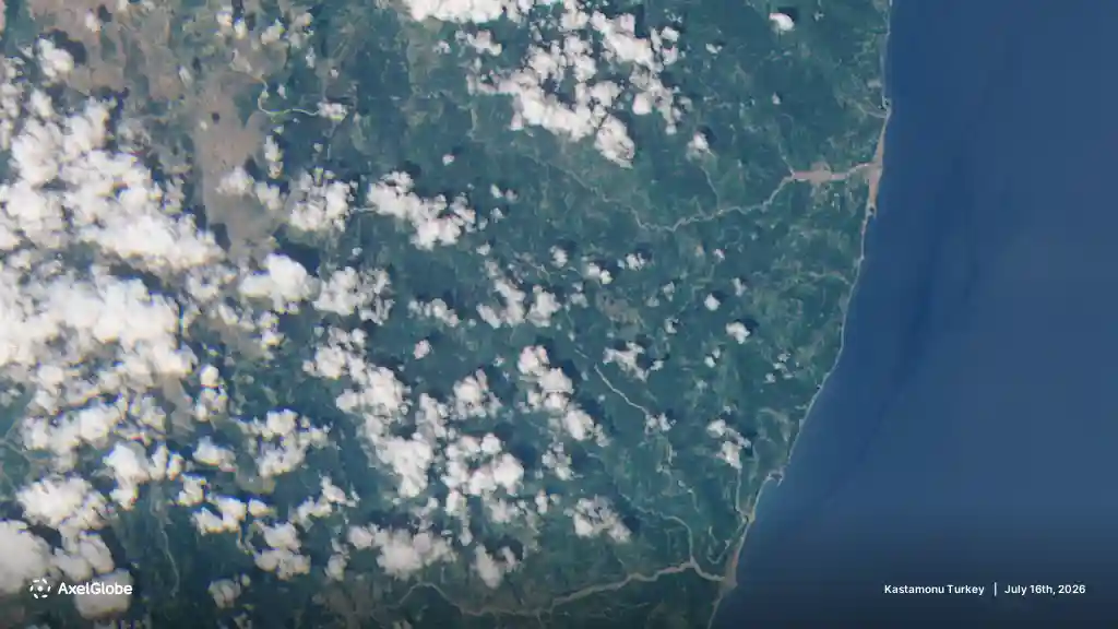
AXELSPACE GRUS Constellation: High-Resolution Earth Observation
Access high-frequency, high-resolution optical imagery from the Axelspace GRUS Constellation. Featuring the next-generation GRUS-3 microsatellite series with 2.2-meter spatial resolution, a dedicated Coastal Blue band, and near-daily global revisit capabilities.
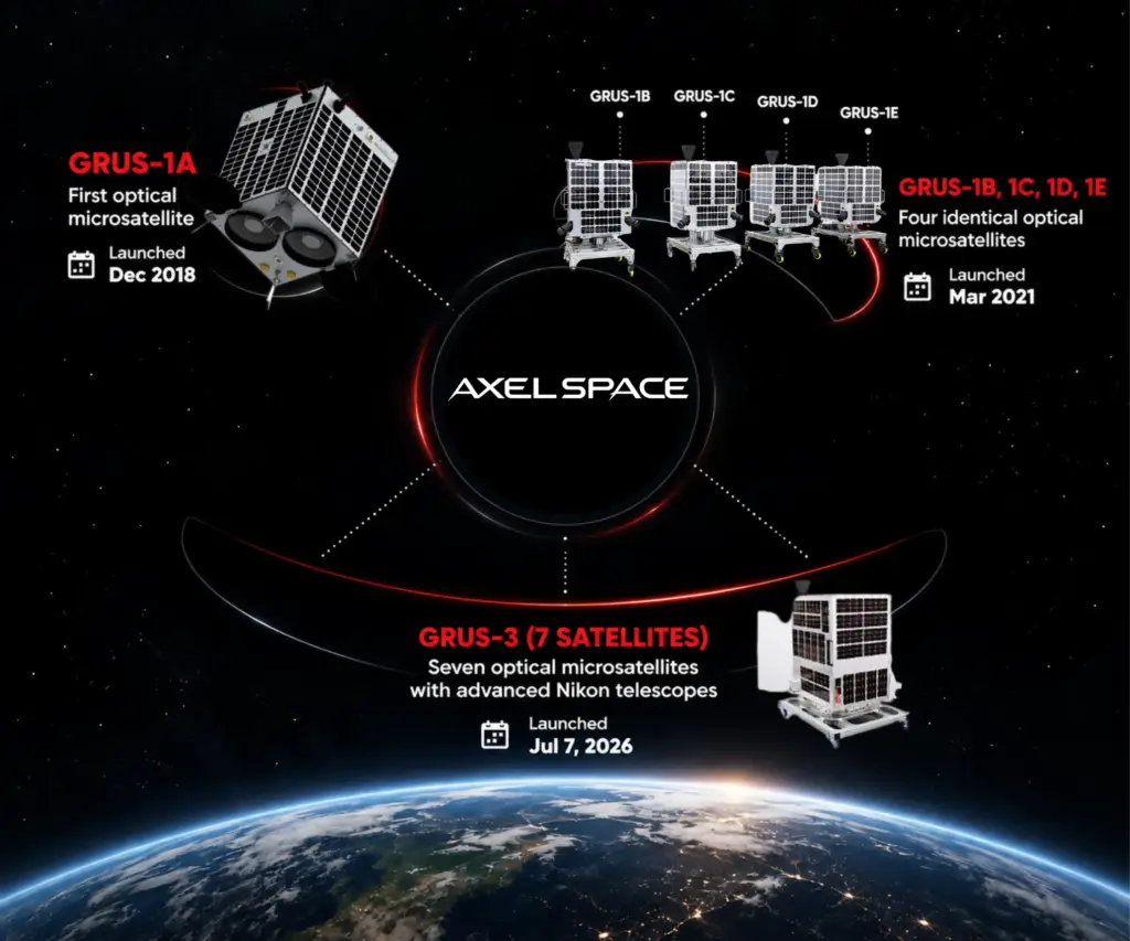
The Axelspace GRUS Constellation Fleet
The Axelspace GRUS Constellation is a proprietary Earth observation platform utilizing a scalable fleet of optical microsatellites operating in Sun-Synchronous Orbit (SSO) to deliver cost-effective, high-detail geospatial data worldwide.
With the addition of seven next-generation GRUS-3 microsatellites, the active fleet in the Axelspace GRUS Constellation has expanded to 12+ operational satellites. Operating via the AxelGlobe platform, the unified constellation offers near-daily revisit frequency, eliminating traditional data acquisition delays across urban, agricultural, and coastal target areas.
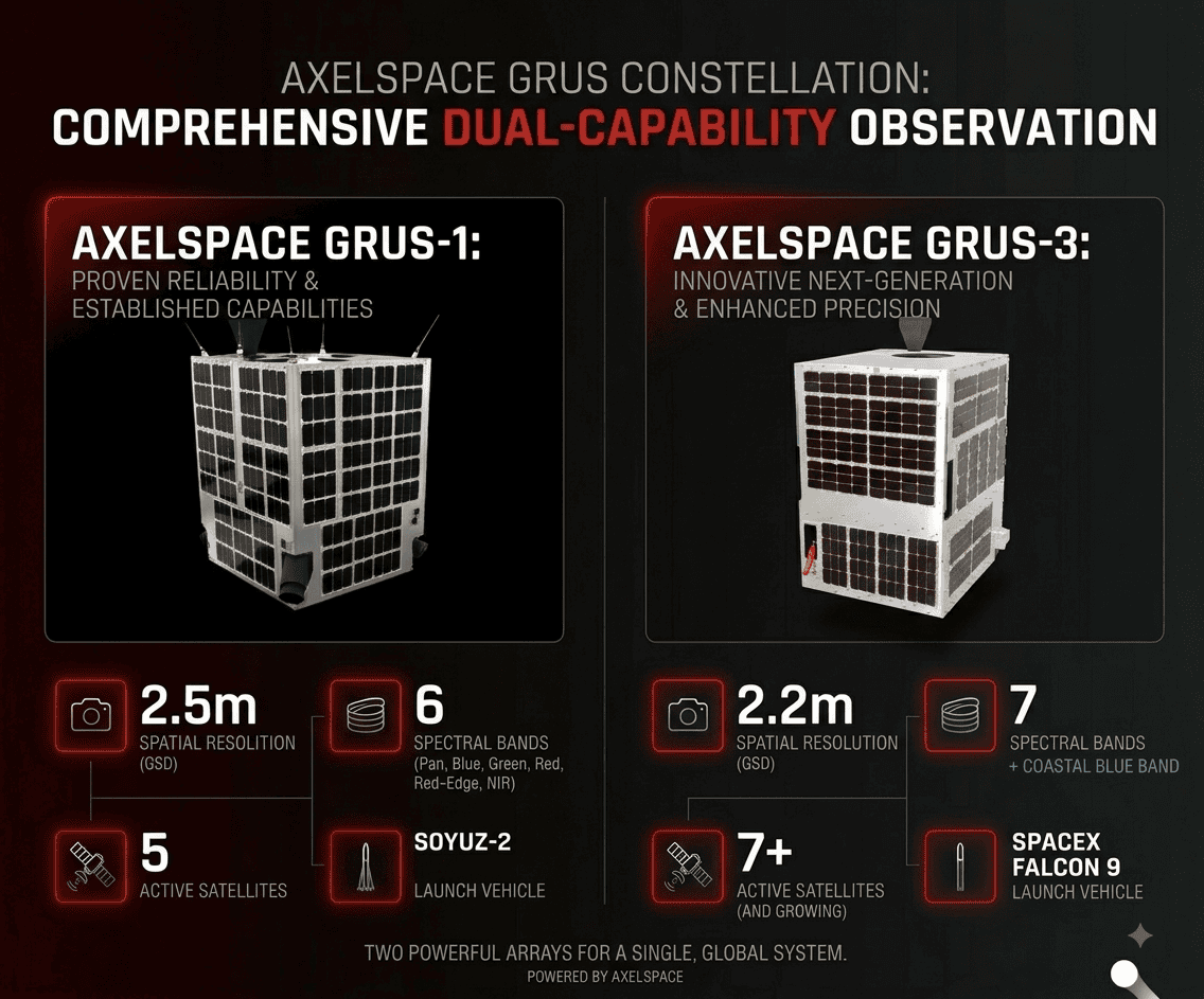
The table below outlines the core technical specifications and sensor capabilities across the Axelspace GRUS Constellation:
| Technical Feature / Metric | Axelspace GRUS-1 Series (1A–1E) | Axelspace GRUS-3 Series (Next-Gen) |
|---|---|---|
| Constellation Fleet Count | 5 Satellites | 7 Satellites |
| Spatial Resolution (GSD) | 2.5 meters | 2.2 meters |
| Spectral Bands | Pan, Blue, Green, Red, Red-Edge, NIR | Pan, Coastal Blue, Blue, Green, Red, Red-Edge, NIR |
| Swath Width | > 50 km | 28.3 km (Strip capture up to 1,356 km) |
| Orbital Altitude | 550 km (SSO) | 585 km (SSO) |
| Launch Vehicle | Soyuz-2 | SpaceX Falcon 9 |
| Data Availability | Fully Operational | Fully Operational |
Key Capabilities & Technological Advantages :-
Dedicated Coastal Blue Band (GRUS-3): The Axelspace GRUS Constellation introduces a specialized Coastal Blue channel (400–450 nm) on GRUS-3 sensors. This band penetrates shallow waters, enabling coastal bathymetry, ocean color analysis, and aquatic ecosystem mapping.
Upgraded 2.2m Spatial Detail: Enhanced optical sensors deliver an upgraded 2.2m Ground Sample Distance (GSD), providing sharper clarity for identifying infrastructure assets, tracking land use, and conducting precise geographic analysis.
Daily Global Revisit Capabilities: With over 12 active satellites operating in unison across the Axelspace GRUS Constellation, locations north of 25° latitude can be imaged on a daily basis for rapid change detection.
High Daily Collection Volume: The combined daily capture capacity of the Axelspace GRUS Constellation exceeds 2.3 million square kilometers, supporting large-scale regional mapping without spectral inconsistency.
Axelspace GRUS Constellation Sample Capture