
Satellite Imagery Services for Global Mapping and Geospatial Intelligence

High-resolution Earth observation data for accurate mapping, monitoring, and decision-making
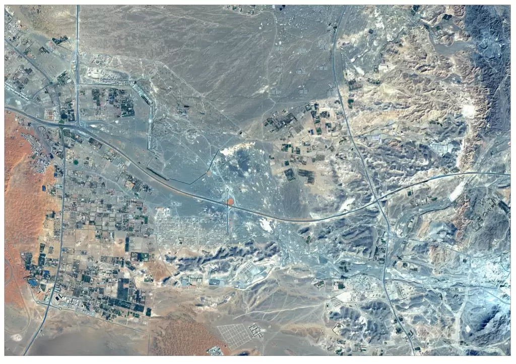
Satellite imagery services provide high-resolution Earth observation data that enables accurate mapping, monitoring, and analysis across industries worldwide. From infrastructure planning and environmental monitoring to defence intelligence and agricultural assessment, satellite imagery delivers real-time insights over large geographic areas. By leveraging advanced satellite data, organizations can track changes, analyze terrain, and make data-driven decisions with precision. Our global satellite imagery solutions ensure reliable, scalable, and high-quality data to support complex geospatial requirements across multiple sectors.
Solutions
Key Capabilities
High Resolution Satellite Imagery
Multispectral & Optical Imagery
Satellite Image Processing
Global Satellite Data Coverage
Change Detection Analysis
3D Terrain & Elevation Models
Satellite Data Integration with GIS
On-Demand Satellite Tasking
Custom Geospatial Solutions
industries
Applications of Satellite Imagery Services
Satellite Imagery for Mining & Resources
Track mining activities, monitor land changes, and support exploration with up-to-date satellite data.
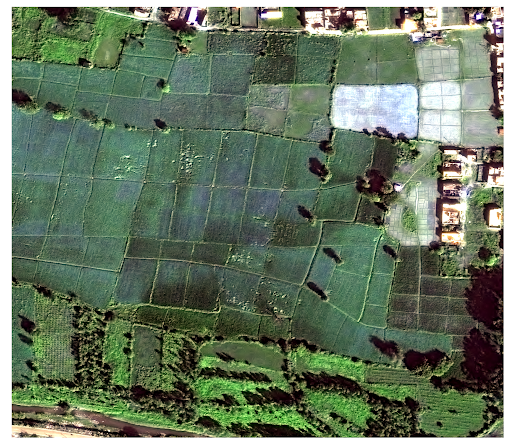
Satellite Imagery for Agriculture
Monitor crop health, assess soil conditions, and optimize irrigation using high-resolution satellite imagery for precision agriculture
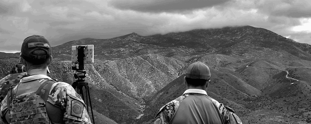
Satellite Imagery for Defence & Intelligence
Support border monitoring, surveillance, and strategic intelligence with timely and accurate Earth observation data.
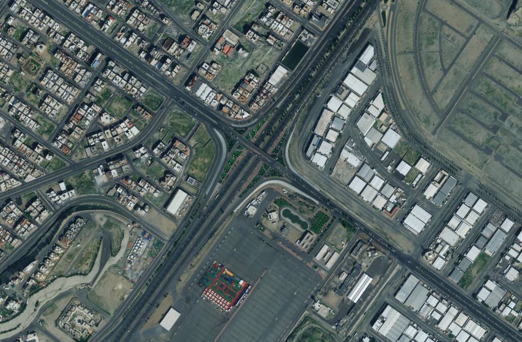
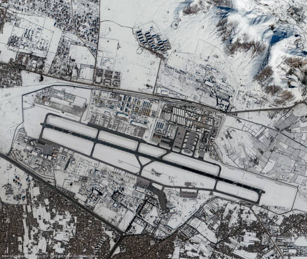
Satellite Imagery for Urban Planning
Enable smart city development, land use planning, and infrastructure expansion with detailed geospatial insights.
Satellite Imagery for Environmental Monitoring
Analyze land use changes, deforestation, and climate impact using multi-temporal satellite imagery.
FAQs
Frequently Asked Questions About Satellite Imagery Services
What are satellite imagery services?
Satellite imagery services provide high-resolution images of the Earth captured by satellites, used for mapping, monitoring, and geospatial analysis across industries such as agriculture, defence, infrastructure, and environmental management.
How accurate is satellite imagery?
Modern satellite imagery can achieve resolutions up to 30cm, allowing detailed visualization of buildings, roads, and land features for precise analysis and decision-making.
What industries use satellite imagery services?
Satellite imagery is widely used in agriculture, defence, urban planning, mining, environmental monitoring, and disaster management for data-driven insights and large-scale analysis.
What is the difference between optical and SAR satellite imagery?
Optical satellite imagery captures images using visible light, while SAR (Synthetic Aperture Radar) can capture data through clouds and at night, making it ideal for all-weather monitoring.
Can satellite imagery be used for real-time monitoring?
Satellite imagery provides near real-time monitoring through frequent revisit cycles, allowing users to track changes and monitor developments over time.
Do you provide custom satellite imagery solutions?
Yes, satellite imagery services can be customized based on specific project requirements, including resolution, area of interest, data type, and delivery format.