
Remote Sensing Services for Advanced Earth Observation and Analysis

Capture, Analyze, and Monitor the Earth with Precision
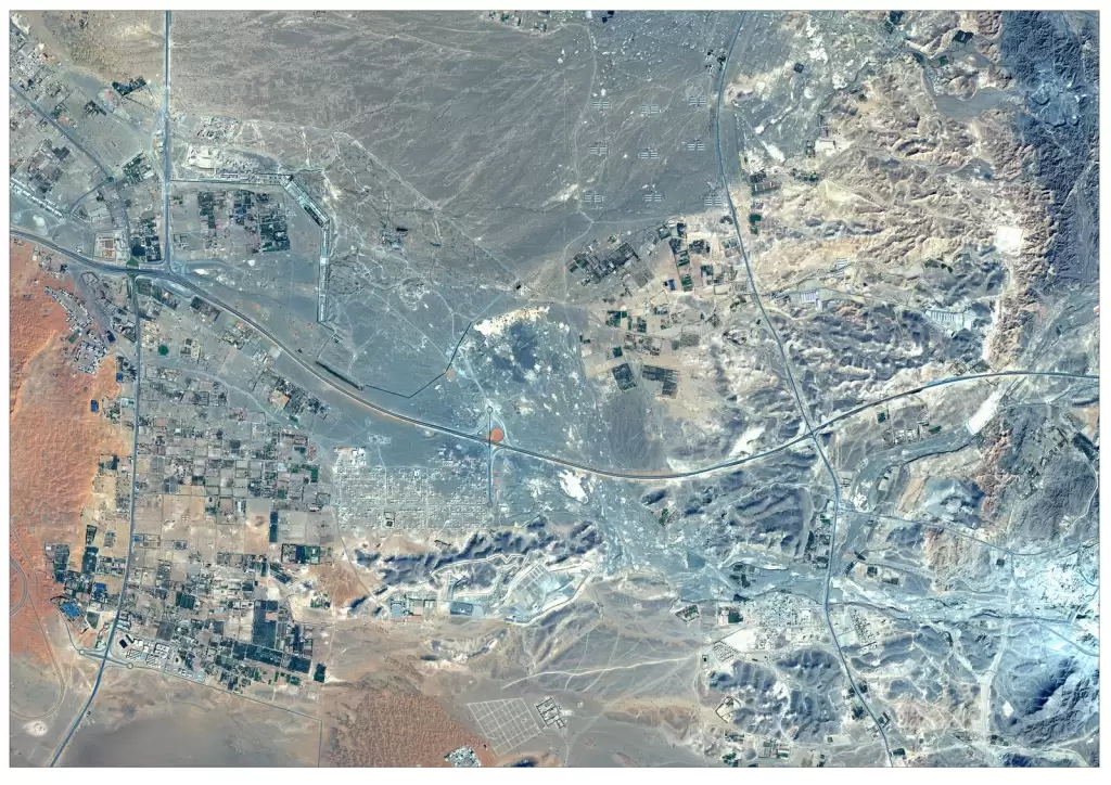
Remote sensing services enable the collection and analysis of Earth observation data using satellite imagery and advanced sensors. By capturing multispectral, hyperspectral, and radar data, remote sensing helps organizations monitor environmental changes, analyze land use patterns, and track infrastructure development across large geographic areas. These services support industries such as agriculture, defence, urban planning, and disaster management by providing accurate, scalable, and real-time insights for informed decision-making.
Solutions
Key Capabilities
Satellite Remote Sensing Data Acquisition
Multispectral & Hyperspectral Analysis
SAR Remote Sensing (Radar Imaging)
Land Use Land Cover (LULC) Mapping
Change Detection & Temporal Analysis
Environmental & Climate Monitoring
Disaster Monitoring & Damage Assessment
Terrain & Elevation Analysis
Custom Remote Sensing Solutions
industries
Applications of Remote Sensing
Remote Sensing in Mining & Resource Management
Identify mineral deposits, monitor mining activities, and analyze land changes using advanced remote sensing techniques.
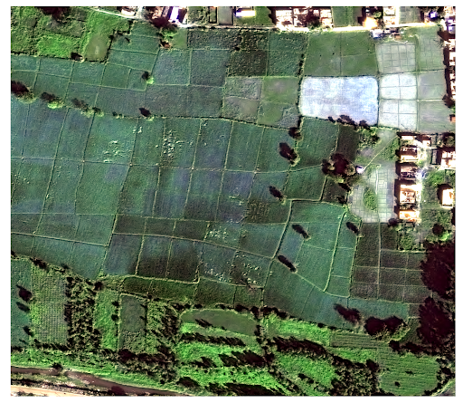
Remote Sensing in Agriculture
Monitor crop health, analyze soil conditions, and optimize irrigation using multispectral and satellite-based remote sensing data.
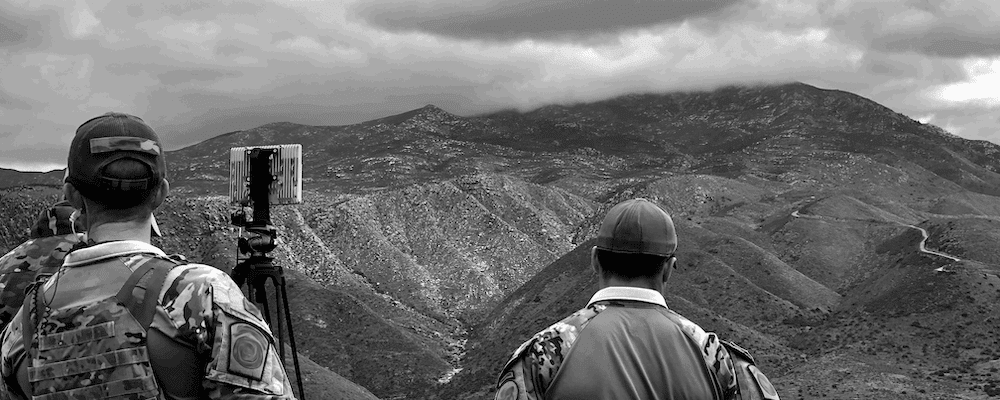
Remote Sensing in Defence & Intelligence
Support surveillance, terrain analysis, and strategic monitoring with high-resolution satellite and radar-based remote sensing.
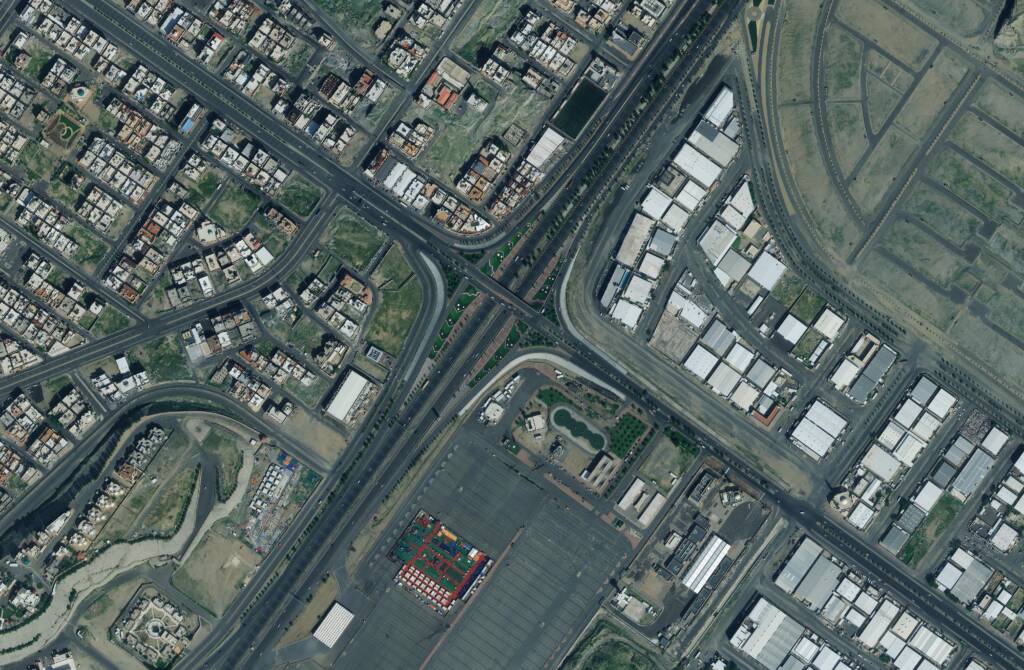
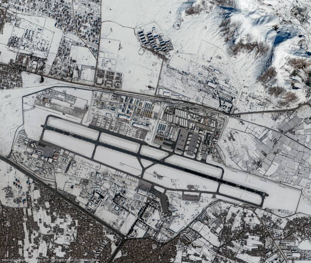
Remote Sensing in Urban Development & Infrastructure
Enable land use planning, infrastructure monitoring, and smart city development through accurate spatial analysis.
Remote Sensing in Environment & Forestry
Track deforestation, monitor ecosystems, and analyze environmental changes for sustainable resource management.
FAQs
Frequently Asked Questions About Remote Sensing Services
What are remote sensing services?
Remote sensing services involve collecting and analyzing data about the Earth’s surface using satellite imagery and sensors, enabling mapping, monitoring, and geospatial analysis across industries.
How is remote sensing used in different industries?
Remote sensing is used in agriculture, defence, mining, urban development, disaster management, and environmental monitoring to analyze land patterns, track changes, and support decision-making.
What types of data are used in remote sensing?
Remote sensing uses optical, multispectral, hyperspectral, and SAR (radar) data to capture detailed information about the Earth’s surface.
What is the difference between remote sensing and GIS?
Remote sensing focuses on data collection from satellites and sensors, while GIS is used to analyze, visualize, and manage that spatial data.
Can remote sensing provide real-time data?
Remote sensing offers near real-time data through frequent satellite revisits, enabling continuous monitoring of environmental and infrastructure changes.
How accurate is remote sensing data?
Remote sensing data can achieve high levels of accuracy depending on the sensor and resolution, with satellite imagery reaching up to 30cm resolution for detailed analysis.