
GIS Mapping Services for Accurate Spatial Analysis and Decision-Making

Transform Spatial Data into Actionable Geospatial Insights
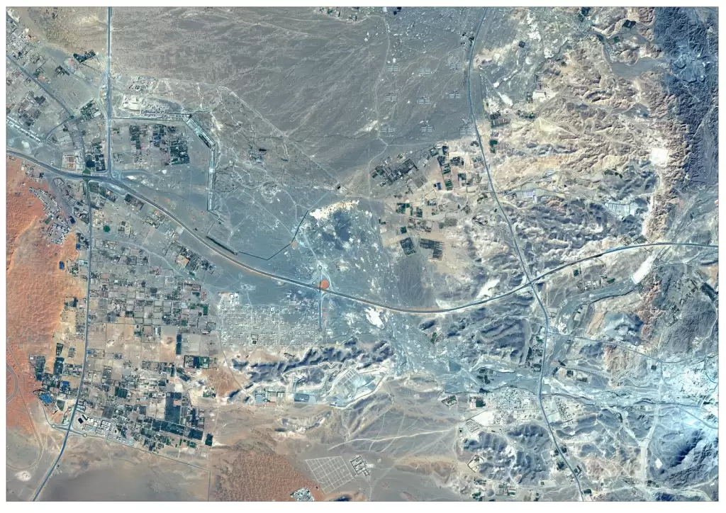
GIS mapping services enable organizations to collect, analyze, and visualize spatial data for better decision-making across industries. By integrating satellite imagery, geospatial data, and advanced analytics, GIS mapping helps in infrastructure planning, land use analysis, asset management, and environmental monitoring. These solutions provide accurate, scalable, and data-driven insights that support governments, enterprises, and organizations in managing complex geospatial information efficiently and effectively.
Solutions
Key Capabilities
Spatial Data Mapping & Visualization
Geospatial Data Analysis Services
Thematic Mapping Solutions
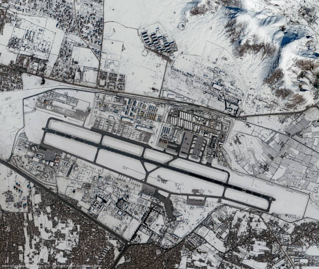
Satellite Imagery Integration in GIS
Infrastructure Mapping & Asset Management
Land Use Land Cover (LULC) Mapping
3D GIS Mapping & Visualization
GIS Data Digitization Services
Custom GIS Mapping Solutions
industries
Applications of GIS Mapping Services
Mining & Resource Management
GIS mapping enables efficient resource exploration, site analysis, and monitoring of mining operations.
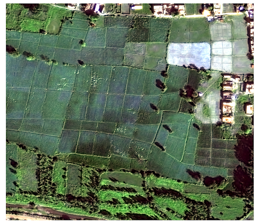
Agriculture & Land Management
Analyze crop patterns, soil conditions, and land use with GIS mapping to improve agricultural planning and productivity.
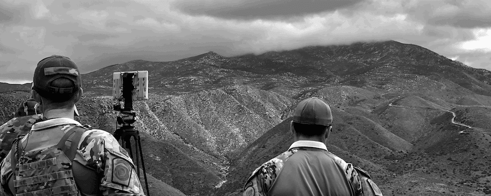
Defence & Intelligence
GIS mapping enables spatial intelligence, terrain analysis, and strategic planning for defence operations and security monitoring.
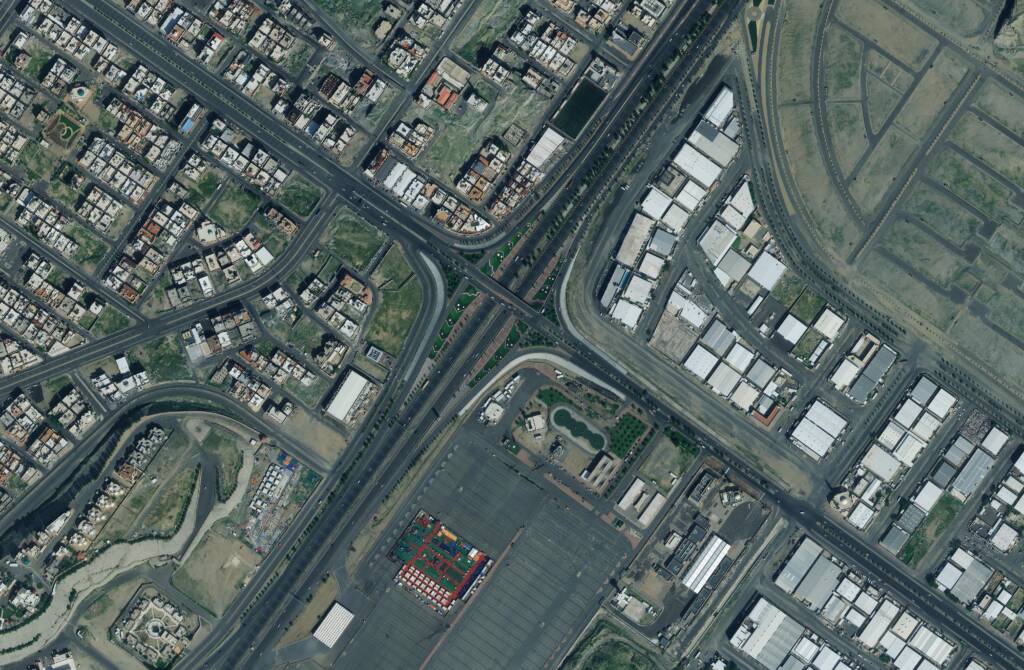
Urban Planning & Smart Cities
GIS mapping supports land use planning, zoning, and smart city development by providing accurate spatial data and visualization tools.
Environmental Monitoring
Track deforestation, land degradation, and ecological changes using GIS-based spatial analysis and mapping.
FAQs
Frequently Asked Questions About GIS Mapping Services
What are GIS mapping services?
GIS mapping services involve collecting, analyzing, and visualizing spatial data to create digital maps and geospatial insights for industries like infrastructure, agriculture, defence, and urban planning.
What industries use GIS mapping services?
GIS mapping services are widely used in agriculture, defence, urban planning, infrastructure management, environmental monitoring, mining, and disaster management for data-driven decision-making.
How does GIS mapping help in infrastructure planning?
GIS mapping enables accurate visualization of spatial data, helping planners analyze land use, map utilities, and manage infrastructure assets efficiently.
What is the difference between GIS mapping and remote sensing?
GIS mapping focuses on analyzing and visualizing spatial data, while remote sensing involves collecting data from satellites or sensors, which is then integrated into GIS for analysis.
Can GIS mapping be integrated with satellite imagery?
Yes, GIS mapping can be integrated with high-resolution satellite imagery to enhance spatial analysis, improve accuracy, and support advanced geospatial applications.
How can GIS mapping services support decision-making?
GIS mapping services provide spatial insights through data visualization, analysis, and modeling, enabling organizations to make informed decisions for planning, monitoring, and resource management across industries.