
Precision Agriculture with Satellite Insights
Monitor crops, optimize resources, and boost yields with advanced geospatial technology.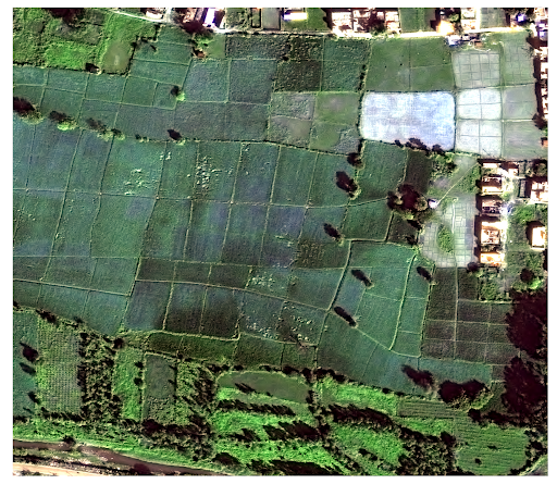
Agriculture & Forestry
Satellite imagery provides a real-time, comprehensive view of the Earth’s surface. Satpalda delivers precise, actionable data that helps governments, enterprises, and researchers make informed decisions in urban planning, defense, agriculture, and environmental monitoring.
SATPALDA SOLUTIONS FOR AGRICULTURE