Empowering industries with high-resolution geospatial data and insights.
Industries We Serve
Explore Our Industry Solutions
Discover how our satellite data drives innovation across diverse sectors.
Agriculture
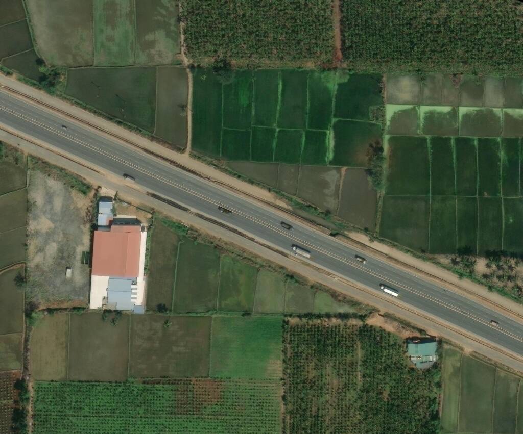
Leverage satellite imagery and geospatial insights to monitor crop health, optimize irrigation, and improve agricultural productivity through data-driven precision farming.
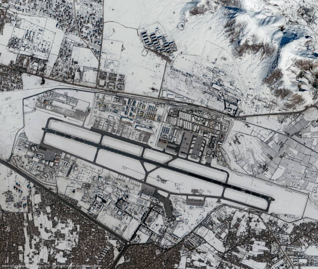
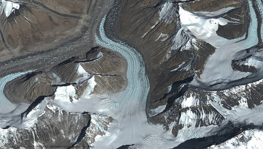
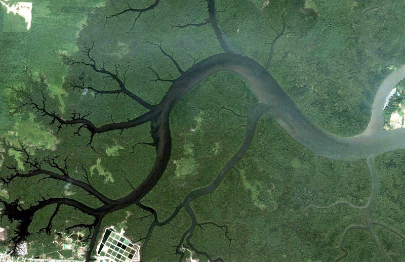
Defence & Intelligence
Enhance surveillance, border monitoring, and strategic planning using high-resolution satellite imagery and advanced geospatial intelligence solutions.
Mining & Resource Management
Monitor mining operations, track land changes, and support resource exploration with accurate satellite data and geospatial analysis.
Urban Development & Infrastructure
Enable smart city planning, infrastructure monitoring, and land use analysis with high-resolution satellite imagery and geospatial technologies.
