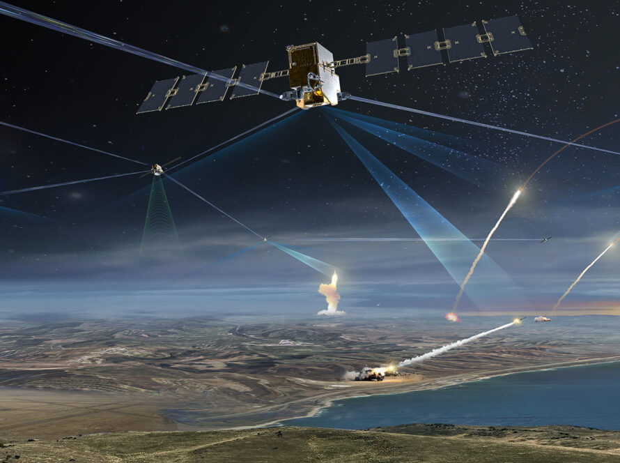
Transform satellite data into actionable intelligence with AI-driven analytics and reporting.
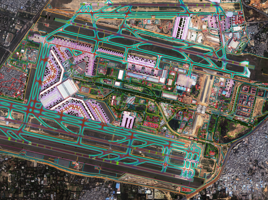
End-to-end GIS services for urban planning, agriculture, infrastructure, and resource management.
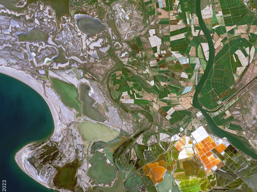
Advanced monitoring of environmental changes, natural disasters, and operational efficiency.
Tailored geospatial projects, integration services, and consulting for enterprise-specific requirements.
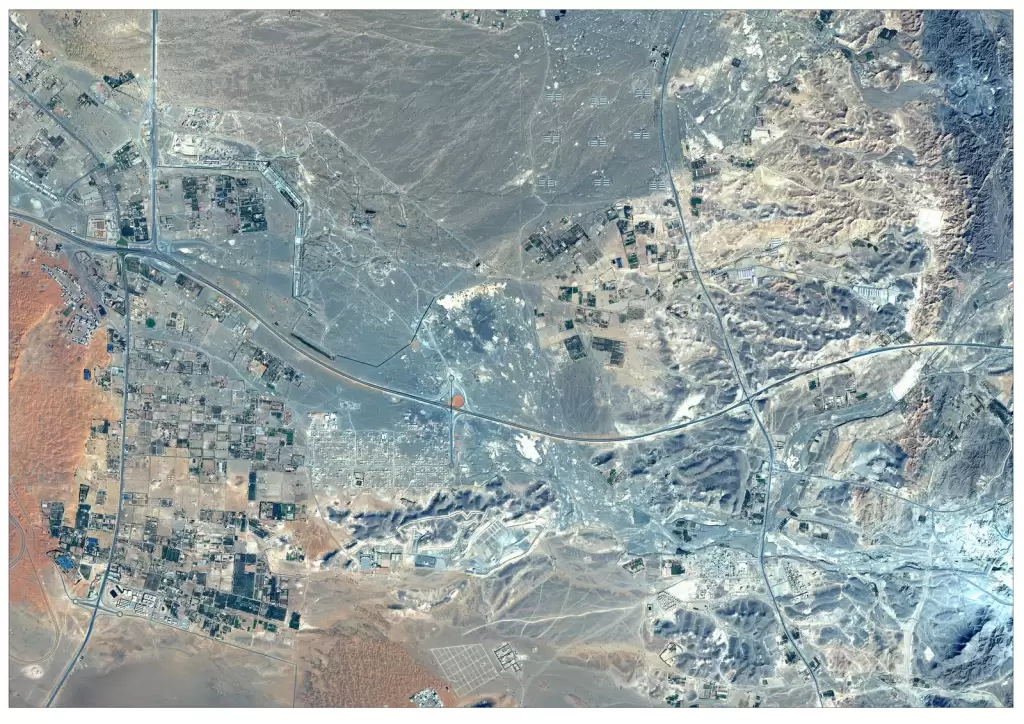
High-resolution satellite imagery for monitoring, mapping, and strategic decision-making.