
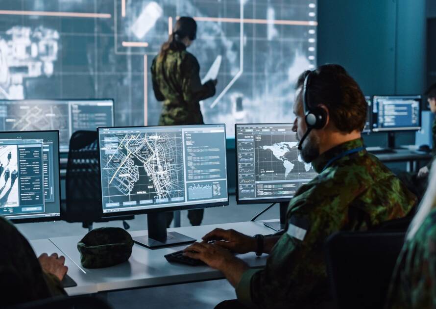
Support surveillance, border monitoring, and situational awareness with real-time satellite intelligence.
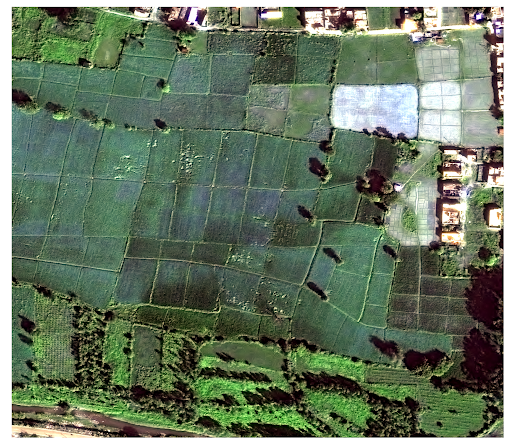
Enhance crop monitoring, yield prediction, and sustainable farming with remote sensing solutions.
Support surveillance, border monitoring, and situational awareness with real-time satellite intelligence.
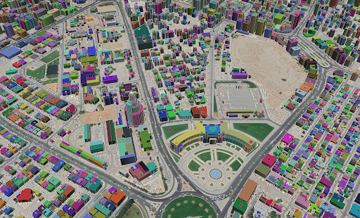
Optimize land use, monitor construction, and plan smart cities with satellite imagery and GIS mapping.
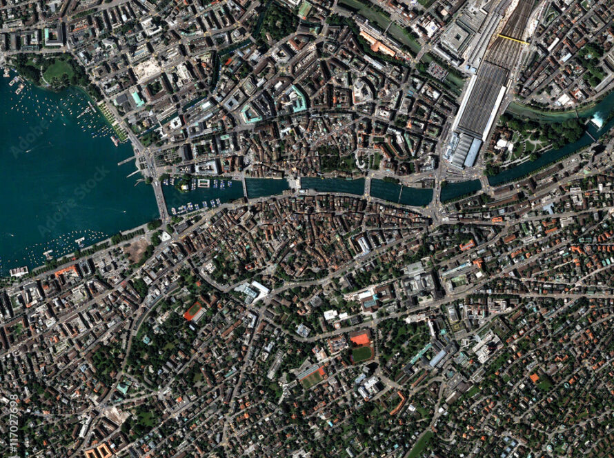
Track environmental changes, detect deforestation, and assess disaster impacts using advanced satellite analytics.