
Leading the Future of Climate & Disaster Intelligence
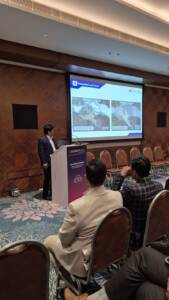
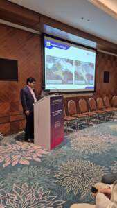
SATPALDA participated in GeoSmart India, showcasing its commitment to advancing geospatial solutions for climate resilience and multi-hazard management. As part of the event, Deepak Raj, Ph.D., Product Specialist (Research & Development), delivered an in-depth session on Climate Change and Disaster Management, emphasizing the vital role of satellite data and geospatial analytics in understanding and mitigating natural hazards.
Advancing Flood Preparedness
During his presentation, Dr. Raj highlighted SATPALDA’s flood modeling capabilities and explained how geospatial insights enhance early warning systems, infrastructure protection, and long-term planning.
He presented the example of Dharali in Uttarakhand, an area highly prone to flash floods and cloudburst-triggered surges, demonstrating how such vulnerable regions benefit from:
Early identification of high-risk flood and debris-flow zones.
Assessment of exposure for hydropower sites and riverbank settlements
Improved planning of road networks and community infrastructure
Actionable, data-driven support for emergency response teams
Real-Time Volcano Hazard Monitoring
Dr. Raj also discussed satellite-based observations of the 2025 Hayli Gubbi volcanic eruption in Ethiopia, showcasing how real-time optical and SAR imagery contributes to:
Accurate tracking of high-altitude ash plumes
Monitoring SO₂ emissions and associated atmospheric impacts
Aviation safety and airspace risk assessment
Better coordination for cross-border hazard response